Top 10 Drone Apps You Must Try At Least Once
So you have purchased your new drone but you need a great app in order to get the best out of flying it. While the company that made your drone may have an app, you may be able to find better ones out there that let you have the full experience of flying a drone. Are you ready to learn more about the top 10 drone apps you can use? Let’s go!
Google Earth
Google Earth is a great app you can use to find out the best places to fly your drone. While there are many apps that help you find a great location that is safe to fly in, we feel that Google Earth is top notch, plus it is a free app and it can be used on a mobile device or through a laptop with ease.
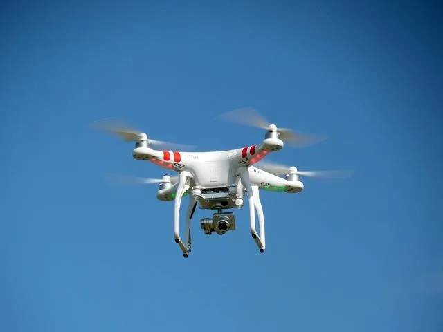
Image Source: Pixabay
Airmap
This app, called Airmap, works well with some great Android controlled drones as well as Apple products. While it offers a map of great flight locations, you can keep a log of your flights and it is easy to use for commercial use.
Airmap is coming up in the world quickly due to being a great app that works for so many drone types. It includes the flight logging, drone mapping and geo-fencing tools, plus it includes real-time traffic alerts! For basic or commercial use, you definitely want to check this app out!
B4UFly
We have all heard of the FAA, the Federal Aviation Administration. They make the laws according to air travel, including laws for flying drones. The FAA has a drone app called B4UFly, which tells you where and when you can fly your drone.
Incredibly detailed, you get important information about airport listings within a 5-mile radius. It is also a great app for legal information on flying drones in the United States. It is a free app, so download it and see if it works for you!
Hover
Hover is a free, yet much-underrated drone app, that gives you mapping information and tells you locations in which to fly your drone. It also includes up to date weather information so you can know when it’ll rain and you can get your drone out of bad weather. This app will tell you how safe it is to fly, and takes in wind, location and other factions into consideration, giving you the best information from this awesome drone app.
DroneDeploy
DJI is the company that makes DroneDeploy and it becoming quite famous for their applications. If you own a DJI drone, especially a Phantom 3 or something newer, you should be using DroneDeploy to help control your new drone.
This free app gives you advanced flight planning, autonomous control and gives you the option to select paths of coordinates so your drone can fly by itself. This great app also gives you the option to control the camera exposure and so much more!
UAV Forecast
UAV Forecast is a weather-based app that gives you highly detailed information on the wind and weather, which in turn helps you to determine if you should fly your drone. The app takes the parameters of your drone and can take that information to determine if it is a good day to fly.
You get a ton of piloting information such as wind speed, wind chill, temperature, visibility and so much more. It also gives you mapping with no-fly zones. Check out this free app today!
KittyHawk
So, we have so far gone over drone apps that help you with weather information, no-fly zones, and those with up to date traffic information, and those that keep flight logs. KittyHawk is an app that includes such things like pre-flight checks, post-flight analysis and all of the stuff that the other apps include.
This app is robust and has quite a nice platform you can easily use. This is one free app that helps you make the most of your time flying that new drone!
Pix4D
Before we jump into all of the great stuff that Pix4D has, we must tell you that while this app is free, the software is not free, so you must beware of that before you download this app. However, this is a highly powerful 3D mapping app that gives you flight routines that you can program yourself for tons of popular drone types.
It will capture the imaging data for 2D and 3D output as well. The overall output of this app is beautiful and is great for commercial and business 3D mapping.
Verifly
Verifly is an app that gives you insurance over your drone. Insurance is a part of life, whether for your home, car or life, but why not have some insurance for your drone? Verifly offers insurance on demand, especially for commercial flights. Your flights are technically too few or unpredictable to be able to have full-time insurance coverage.
This app lets you log in your start time, as well as finish time, and you pay insurance based on your usage of the drone. Generally, this will start at about $10 an hour. Once you download it, you can see all of the details of the coverage and you can choose your type.
Litchi DJI
This app is specifically for DJI drones. This is one of the best apps for DJI drones and if offers a lot of information you need. With updated features, this is an app you won’t want to miss out on, as it offers information on weather, log times, and so much more! The flights and functionality are the best features!
Conclusion
Now that you know of several apps that you can use in conjunction with your new drone, which ones will you download and use? Make sure you find an app that will give you all of the information you need to safely fly your drone. Now, let’s get outside and fly that drone!

Comments